
Kongeriget Danmark
KMS, Copenhagen. ca.1870
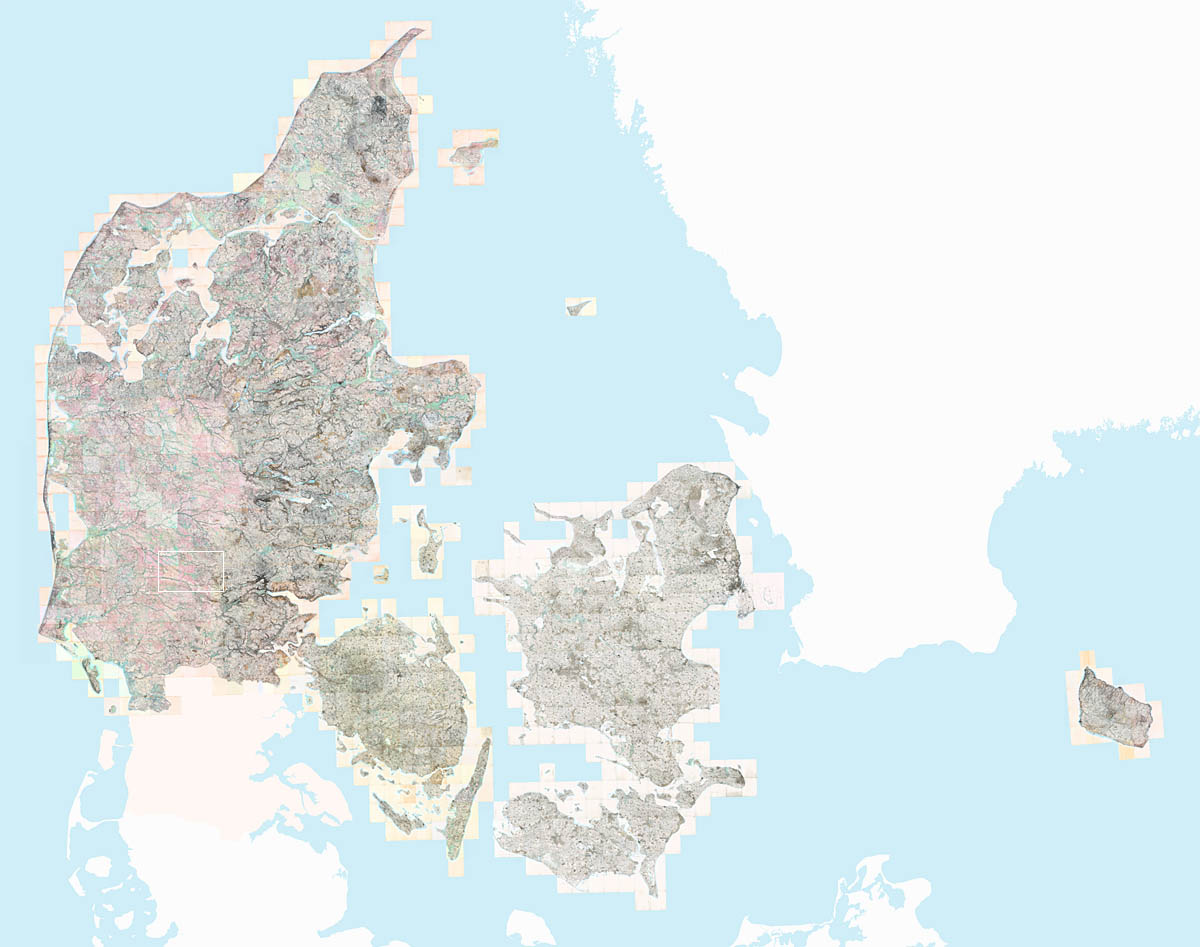
Mosaic from the Kort & Matrikelstyrelen Høje målebordsblade 1:20.000. 1842—1899. Southern Jutland was mapped separately
Kongeriget Danmark or the Kingdom of Denmark, is located at 56°00'00"N, 10°00'00"E in Northern Europe and borders the North Sea to the West and the Baltic Sea to the East. It shares a land border with Germany to the South and is separated from Sweden to the East by the Øresund Sound.
Denmark consists of (from left to right) the Jylland (Jutland) peninsula and the major islands of Fyn (Funen), Sjælland (Zealand) and Bornholm, as well as some 440 smaller named islands. Denmark also includes the territories of Færøerne (the Faroe Islands) in the North Atlantic and Grønland (Greenland).
Both Billund and Filskov are in Central Jutland, as shown by the white rectangle.